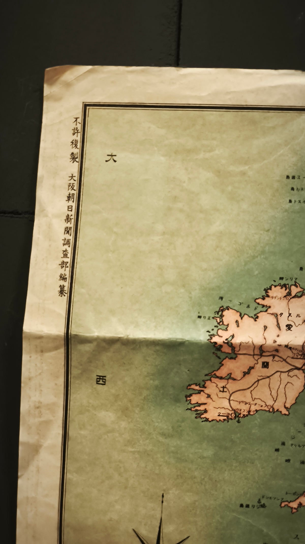
State: Original used condition, with age toning, pronounced fold lines and fold wear. See photographs.
Europe goes to war, as seen from Japan.
An original Japanese newspaper map issued during the opening year of the First World War. Features period borders, Japanese place names, railway networks and important cities across Europe, extending into western Russia and the Mediterranean.
Printed for readers following a war unfolding thousands of kilometres away. A original piece of Taishō era history, with soft colours and bold Japanese lettering that make it a particularly attractive.